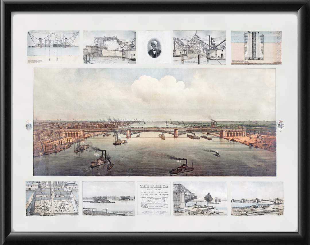
Restored panoramic view of St. Louis, Missouri, 1874 and the Eads Bridge, by F. Welcker. Includes photos and charts of the construction, by Captain James Eads, Chief Engineer.
Our maps are shipped to you unframed unless you click the framing option on the order page. We show them as low-resolution for illustration purposes only.


 Free shipping with $100 minimum order!