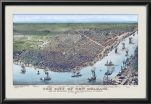
Restored bird’s eye view map of New Orleans and outlying areas from the south, 1884 by H.W.W. Reynolds. The view extends over Lake Pontchartrain with West End, Spanish Fort, and Milneburg.
Our maps are shipped to you unframed unless you click the framing option on the order page. We show them as low-resolution for illustration purposes only.



 Free shipping with $100 minimum order!