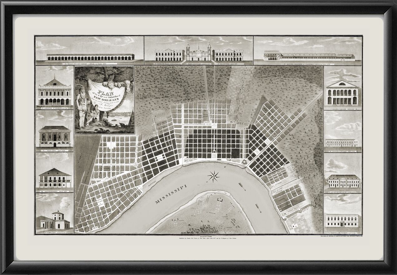
Restored plan of the city and suburbs of New Orleans, Louisiana, 1817, from an actual survey made in 1815, by Jacques Tanesse, showing buildings with name and date of construction.
Our maps are shipped to you unframed unless you click the framing option on the order page. We show them as low-resolution for illustration purposes only.