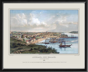
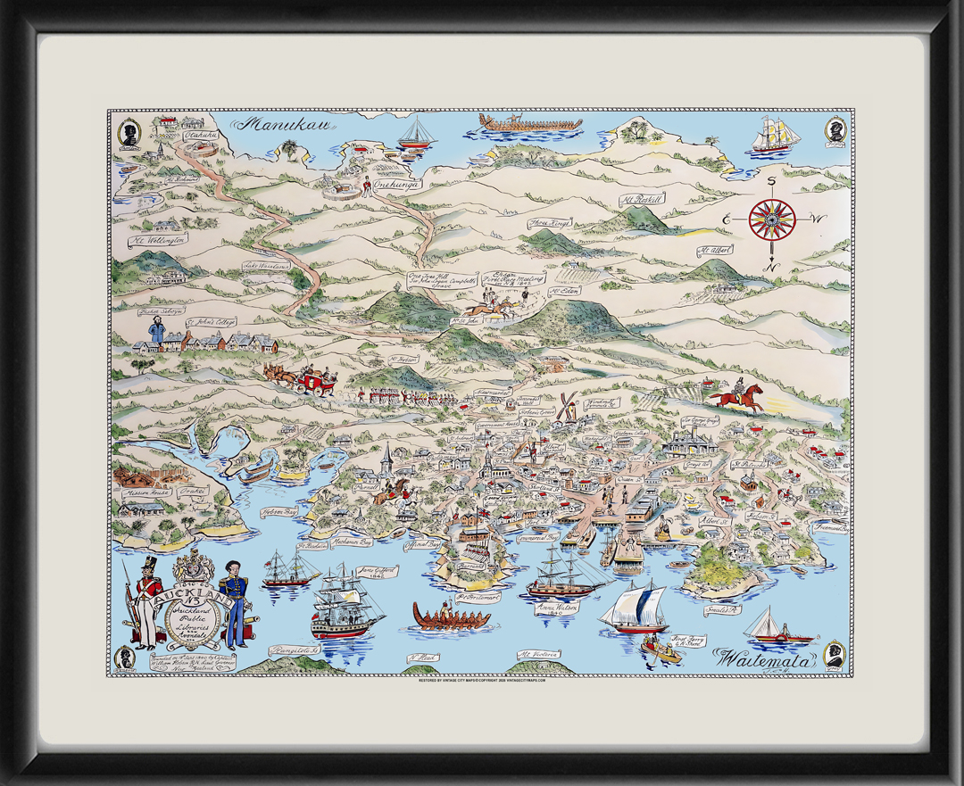
Restored pictorial bird’s eye view map of Auckland, New Zealand, 1840-60 showing places around Auckland City and Isthmus from 1840 to 1860, drawn and hand-colored in 1951 by John Cecil Hill
Our maps are shipped to you unframed unless you click the framing option on the order page. We show them as low-resolution for illustration purposes only.


 Free shipping with $100 minimum order!