Restored view of the plan of Quebec City, Canada 1759 by Edward Oakley, with insets showing the St. Laurence River and the Port of Quebec as it was when attacked by the British.
$44.95 – $79.95
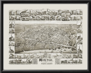
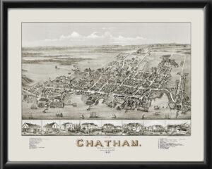
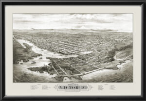
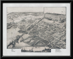
Our maps are shipped to you unframed. We show them as low-resolution, framed images for illustration purposes only.
24×36, 36×54
The results below are a partial list of maps, for a full listing please visit Shop by State or Shop by Country.