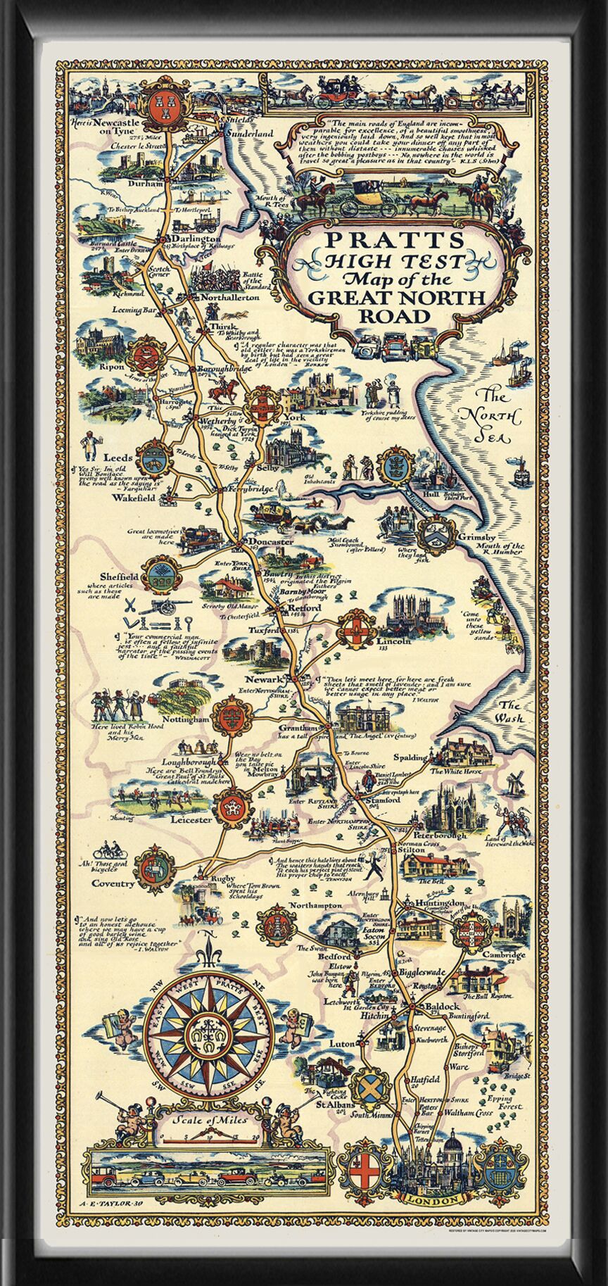
Restored Pratts High Test Map of the Great North Road, a pictorial bird’s eye view map showing the route between London in the lower right to Newcastle on Tyne in the upper left, produced in 1939 by Alfred E. Taylor.
Our maps are shipped to you unframed unless you click the framing option on the order page. We show them as low-resolution for illustration purposes only.