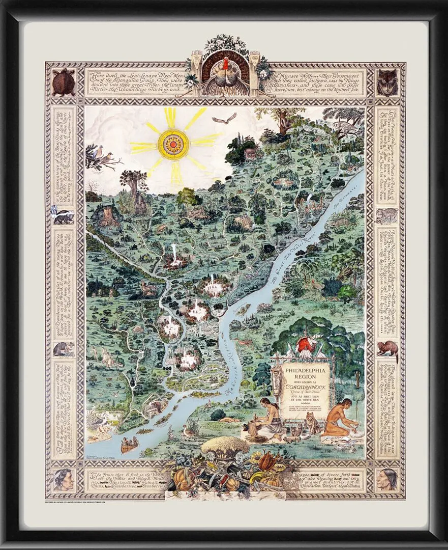
Restored pictorial bird’s eye view Coaquannock Map – the Indigenous Philadelphia Region depicting the Delaware and Schuylkill river valleys as they existed prior to European colonization. Produced in 1934 by Edward Cacchione and Bernard Mion based on earlier 17th century maps by cartographers Peter Lindeström, Augustine Herrman, Captain Thomas Holme, and Nicholas Visscher.
Our maps are shipped to you unframed unless you select the framing option on the order page. We show them as low-resolution, framed images for illustration purposes only.