vintagecitymaps@gmail.com
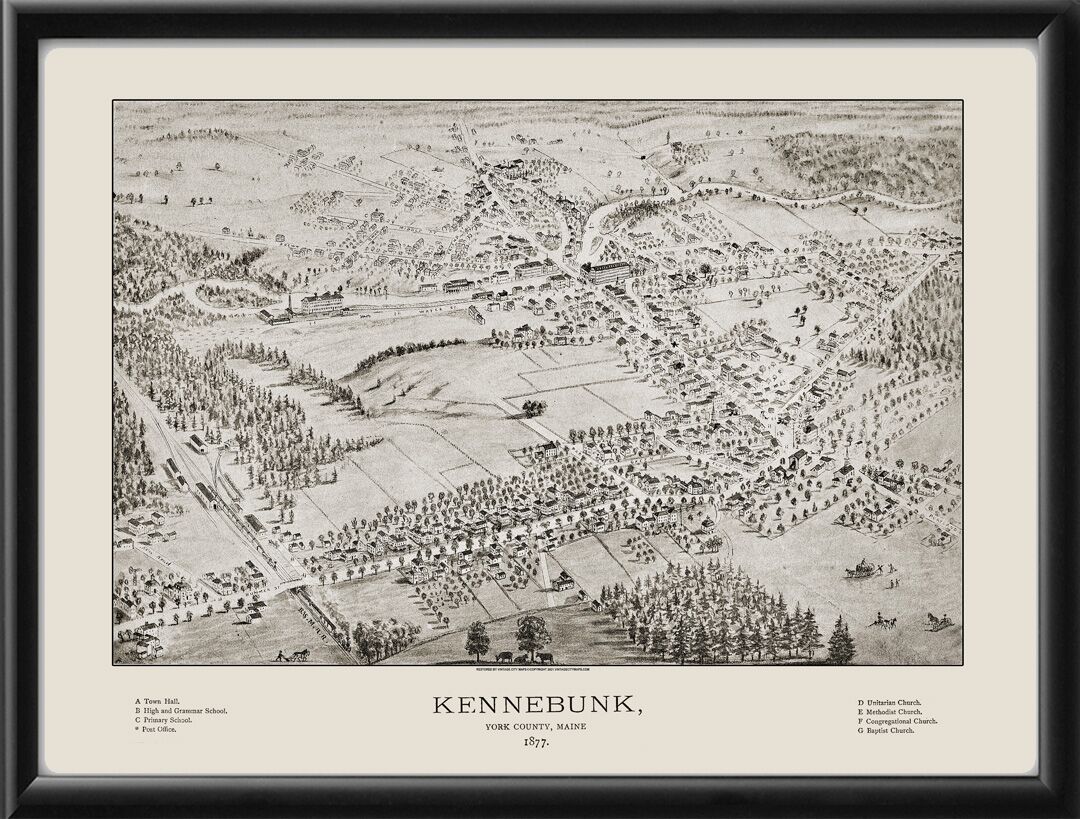
Restored bird’s eye view map of Kennebunk, Maine, 1877 by Albert Ruger.
$59.95 – $69.95Price range: $59.95 through $69.95
Our maps are shipped to you unframed. We show them as low-resolution, framed images for illustration purposes only.
20×24, 24×30
The results below are a partial list of maps, for a full listing please visit Shop by State or Shop by Country.

 Free shipping with $100 minimum order!

