vintagecitymaps@gmail.com
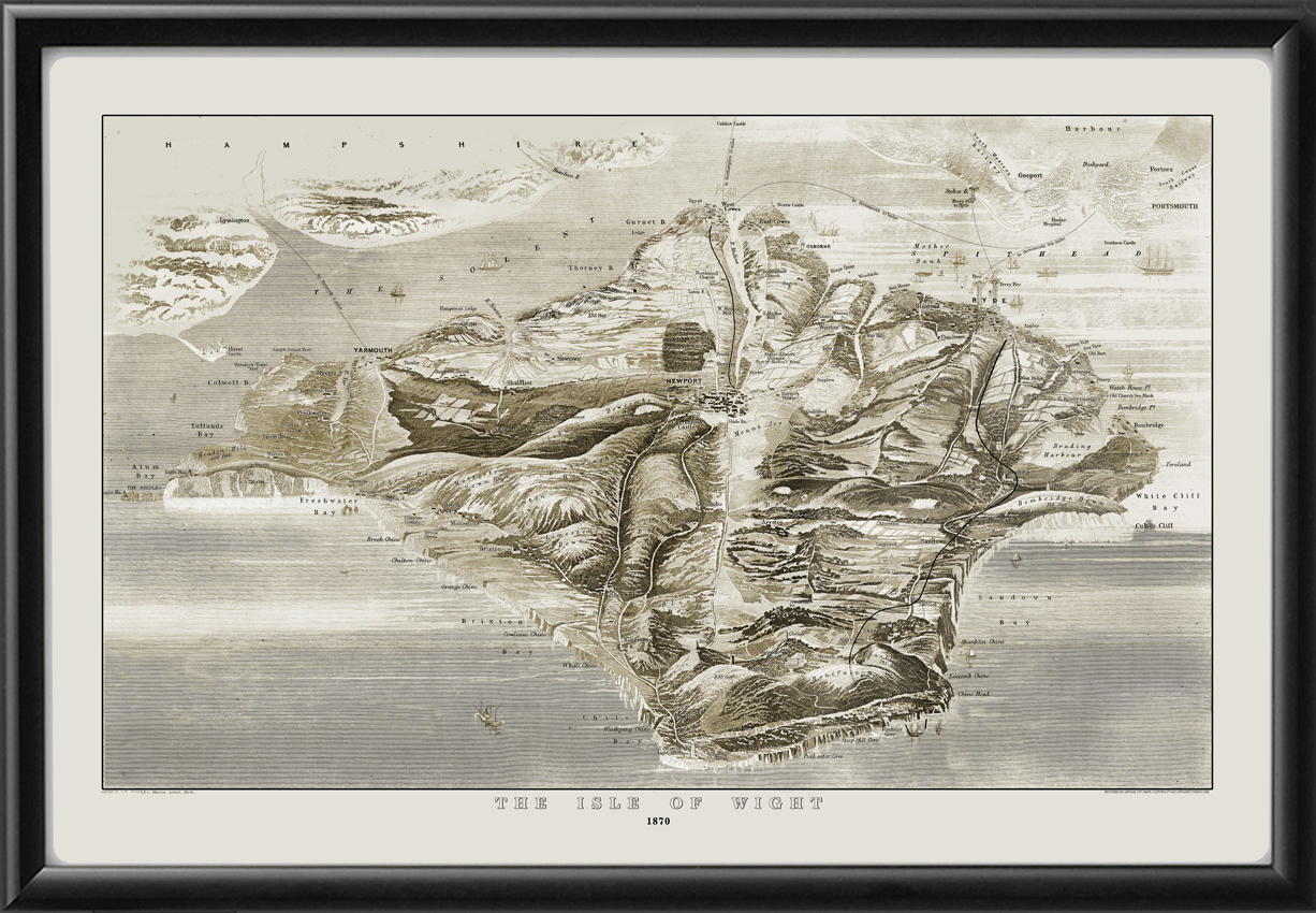
Restored bird’s eye view map of the Isle of Wight, England, 1870 by Arthur William Fowles and engraved by Lewis Becker. Shows towns, rivers, railways, ships, and ferry lines to Portsmouth, Gosport, and Southampton.
$44.95 – $49.95Price range: $44.95 through $49.95
Our maps are shipped to you unframed. We show them as framed images for illustration purposes only.
16×24, 24×36
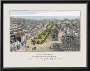
The results below are a partial list of maps, for a full listing please visit Shop by State or Shop by Country.

 Free shipping with $100 minimum order!