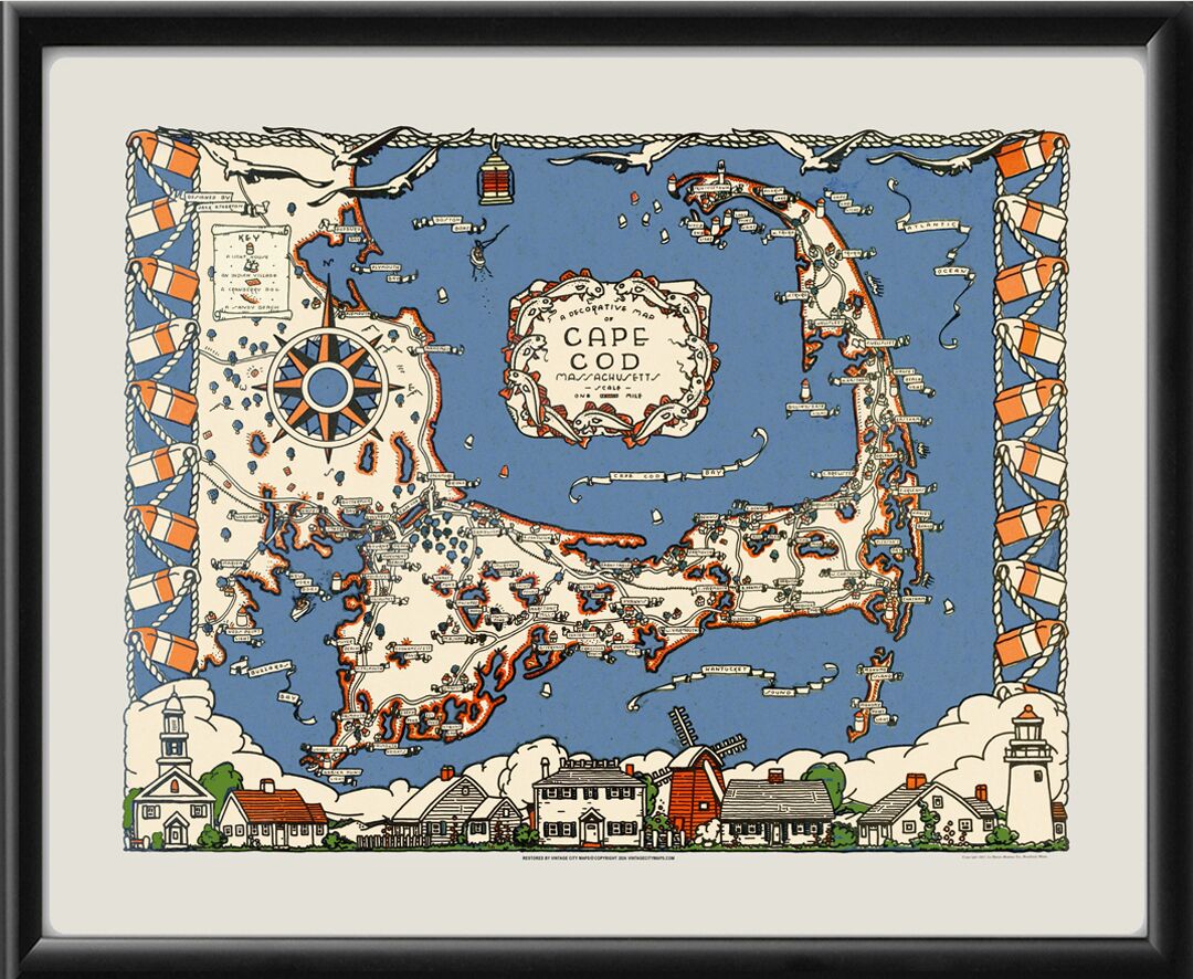
Restored 1937 pictorial view map of Cape Cod, Massachusetts, by Jack Atherton, showing roads, landmark buildings and lighthouses, Indian villages, and labels with the names of neighborhoods, ponds, coves and beaches.
Our maps are shipped to you unframed unless you click the framing option on the order page. We show them as low-resolution for illustration purposes only.