Bird’s Eye View of The Great Plains 1890

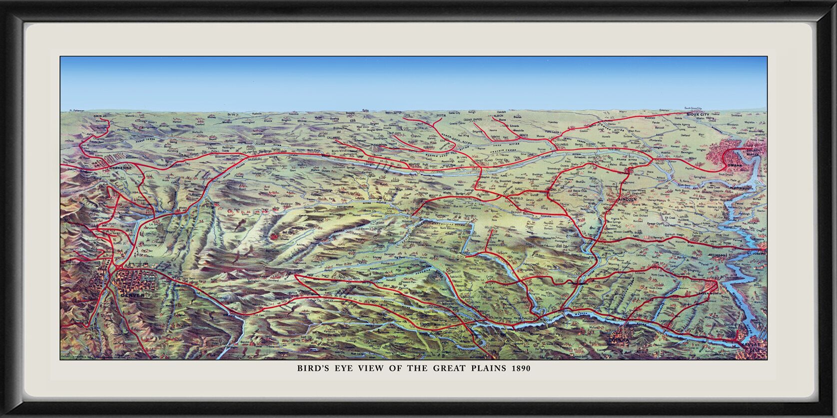
Restored 1890 bird’s eye view of The Great Plains reached via the Union Pacific Overland Route, showing the cities of Denver, Colorado and Cheyenne, Wyoming in the west, and stretching eastward to St. Louis, Missouri, Omaha, Nebraska, and Council Bluffs, Iowa.

$44.95$54.95

SKU N/A Categories , , , , , Tag

Description

Our maps are shipped to you unframed. We show them as low-resolution, framed images for illustration purposes only.

Additional information

Size

18×36, 24×48

0
    0
    Your Cart
    Your cart is emptyReturn to Shop

    Search Products...

    The results below are a partial list of maps, for a full listing please visit Shop by State or Shop by Country.