Restored map of Waltham, Massachusetts, 1854, surveyed & drawn by E.M. Woodford, showing illustrations of schools, businesses, factories, and residences
$39.95 – $44.95
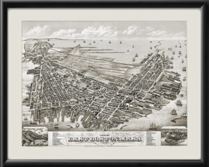
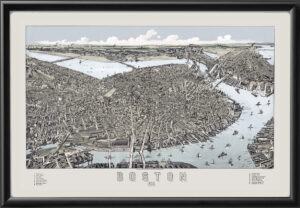
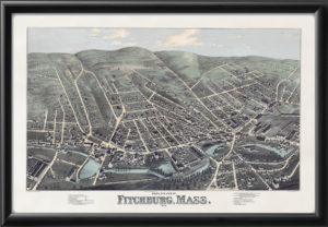
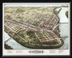
Our maps are shipped to you unframed. We show them as low-resolution, framed images for illustration purposes only.
16×24, 24×36
The results below are a partial list of maps, for a full listing please visit Shop by State or Shop by Country.
