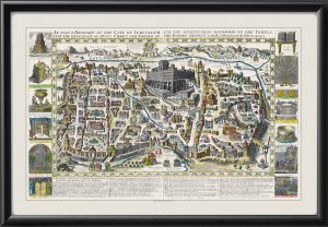
Restored map of The Holy Land – 1609, showing the regions of Canaan and illustrations of the events and places as they were in the time of Christ and the Apostles, by Petrus Plancius, Jan Everts Cloppenburg, and engraved by Baptista Van Deutecum
$39.95 – $44.95
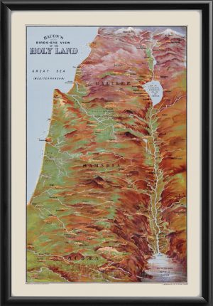
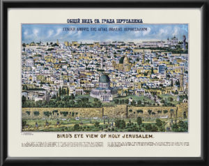
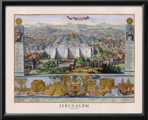
Our maps are shipped to you unframed. We show them as low-resolution, framed images for illustration purposes only.
16×24, 24×36
The results below are a partial list of maps, for a full listing please visit Shop by State or Shop by Country.
