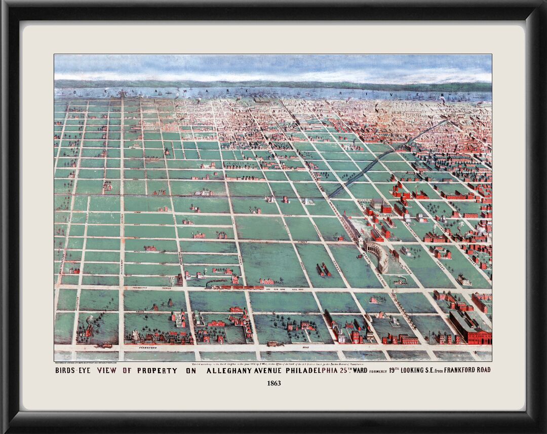
Restored bird’s eye view map of Philadelphia in 1863 by R. Wier, looking southeast from Frankford Road in northeast Philadelphia toward Kensington and the Delaware River. The area depicted lies between Westmoreland Street and a few blocks south of Columbia Street, consisting mainly of the open land surrounding the Aramingo Canal, the Reading Railroad depot between Lehigh Avenue and Somerset Street, and the tracks of the Philadelphia, Trenton, and New York Railroad line.


 Free shipping with $100 minimum order!


