Restored Plan of the Rapids or Falls of the Ohio Latitude of Louisville, Kentucky, 1796 by George Henri Victor Collot, showing Clarksville, Indiana across the river.
$44.95
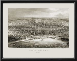
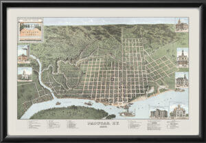
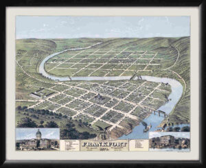
Our maps are shipped to you unframed. We show them as framed images for illustration purposes only.
24×30
The results below are a partial list of maps, for a full listing please visit Shop by State or Shop by Country.

