Restored bird’s eye view map of West Lebanon and White River Junction, New Hampshire, 1889 by George Norris
$44.95 – $79.95
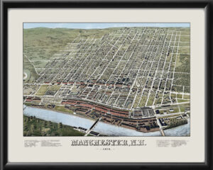
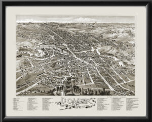
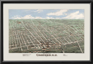
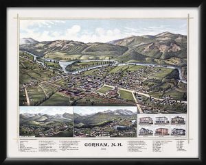
Our maps are shipped to you unframed. We show them as low-resolution, framed images for illustration purposes only.
24×36, 36×54
The results below are a partial list of maps, for a full listing please visit Shop by State or Shop by Country.
