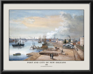
Plan of the city and suburbs of New Orleans, Louisiana, from an actual survey made in 1815, by I. Tanesse, showing buildings with name and date of construction.
$44.95 – $84.95
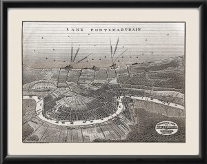
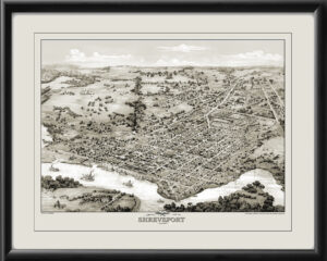
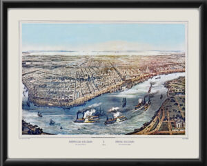
Our maps are shipped to you unframed. We show them as low-resolution, framed images for illustration purposes only.
24×36, 36×54
The results below are a partial list of maps, for a full listing please visit Shop by State or Shop by Country.